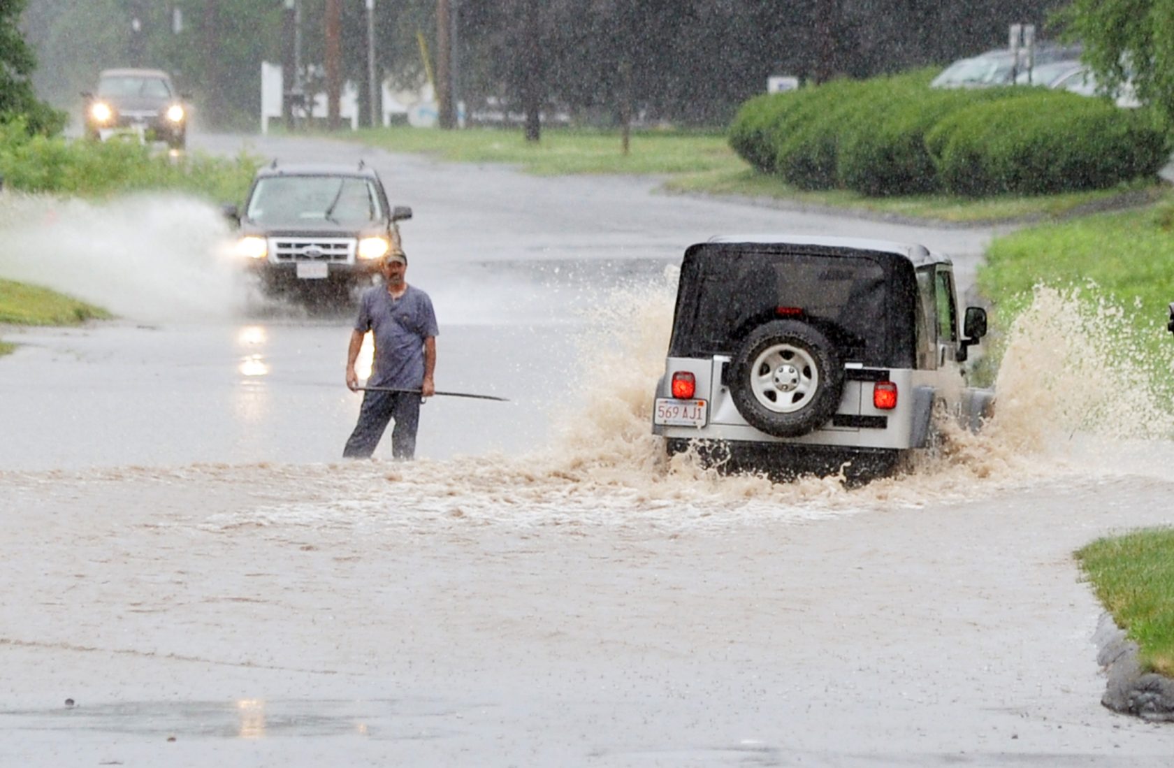
A man attempts to warn drivers how deep the water is on Mainline Drive in Westfield yesterday after a fast moving storm hit the area. Many SUV drivers ignored the knee-deep water and went around the man. (Photo by Frederick Gore)
CHICOPEE – The National Weather Service defines a flash flood as “a flood that occurs within a few hours (usually less than six) of heavy or excessive rainfall, dam or levee failure or water released from an ice jam.”
Sometimes a flash flood can happen in less than an hour. This type of flooding is usually localized to small rivers and streams and urban areas. In western Massachusetts, we can get flash flooding from slow moving thunderstorms that contain heavy rainfall. This type of storm can quickly overwhelm small streams and street drainage systems, especially if the weather has been wet for a few days prior to the storm.
Forecasters can predict flash flood potential by analyzing the potential precipitation and the motion/speed of an upcoming storm. Computers that forecast flooding also can measure the amount of moisture in the soil, which can determine how natural and human made drainage systems will respond to varying amounts of rainfall.
Flash flood watches are issued by The National Weather Service when weather conditions show the potential for flash flooding. Flash flood warnings are issued when flash flooding is likely. Flash flood watches and warnings should be taken very seriously. In a flash flood, very small streams can swell to raging rivers, strong enough to overturn/submerge vehicles and even knock houses off their foundations.
Brian Lapis
22News Storm Team
