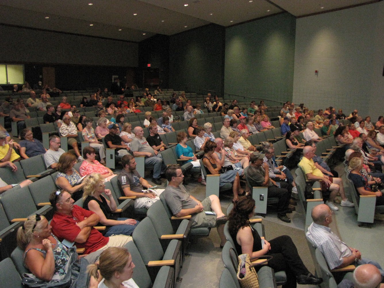
 WESTFIELD – Nearly 200 residents attended an informational public hearing last night at the North Middle School to hear about changes to the noise contour map, which will greatly reduce the number of residents who qualified for noise abatement assistance under the original map.
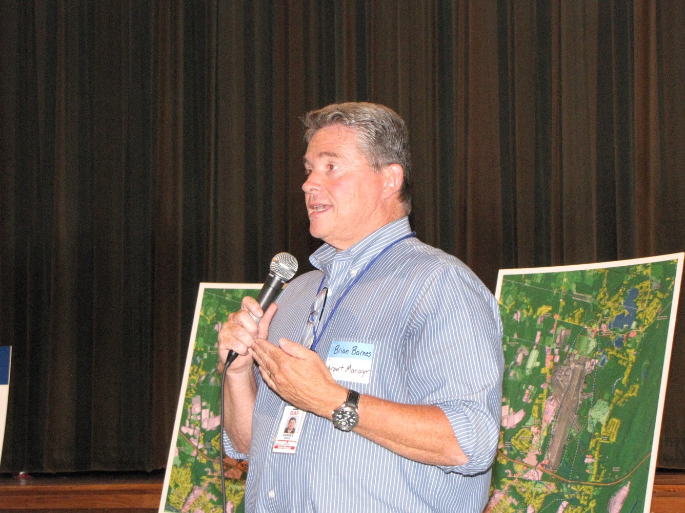
Airport Director Brian Barnes said that the Federal Aviation Administration (FAA) requires that the PAR 150 noise study, and associated maps, be updated every five years. The original Par 150 Noise Abatement Noise Compatibility Study Update was released in April of 2009.
The original study was conducted shortly after the F-15 air superiority jets were moved from Otis Air Base to Barnes Regional Airport, replaced the Massachusetts Air National Guard 104th Fighter Wings previous airframe, the A-14 Warthog, which is an antitank and close ground support aircraft
Barnes said the amended noise contour map is still a draft which has to be reviewed and approved by the FAA. Barnes said the original study was based upon anticipated data flight paths and the number of sorties conducted by the 104th Fighter Wing, while the amended maps are based upon actual data.
Barnes said that under the original map delineated the two noise contour lines, the 70 dB and 65 dB, qualifying residents for noise abatement assistance. Barnes said that 52 houses in the 70 dB contour qualified for buyouts, and that 10 have been purchased.
Houses in the 65 dB contour qualified for noise abatement measures, including replacement of window, doors, as well as adding insulation in the walls and central air conditioning to eliminate the need to open windows. Barnes said that 84 homes have been insulated.
“Which leaves 270 people” in the original 70 dB and 65 dB contours whose homes have not been either purchased or noise insulated, Barnes said.
The new contour lines reduced the number of qualified house by about half, Barnes said.
“We’re here tonight to get your comments to send to the FAA as part of this process,” Barnes said. “We’re not the first community to go through this. Westover (Air base in Chicopee) saw about a 50 percent reduction.”
“None of the numbers we see here now are final,” Barnes said, adding that the FAA gave the city a $2.5 million grant to continue purchasing properties.
Barnes said that because of flight path changes adopted by the 104th ANG, the contours have shifted to the north of the airport and from the southwest to the southeast. The municipal airport has a contract with the 104th ANG to have about 90 percent of sorties to the north of the airport and 10 percent to the south.
Jane W. Verbeck, program manager with the city’s noise consultant, WYLE, said that “homeowners are being bumped from the list because the contours are being shifted” based on the actual data collected over the past five years.
“This is a draft and has not yet been approved by the FAA,” she said.
Several residents asked questions about the process of determining the contour lines, one asked how residents can challenge the data, while another asked if the data for commercial aircraft was included in the study because of an increase in corporate jet traffic following the expansion of Gulfstream Aviation.
Barnes said that data was incorporated into the new contour line study.
Earlier this year Barnes said that under the old criterion the FAA, with the state and city each funding 2.5 percent of the cost, was paying between $80,000 and $88,000 per house.
“Now the new criterion makes it more difficult to qualify for that full modification,” Barnes said. “A lot fewer people will qualify for the full modification.”
Noise abatement program proves to be a moving target
By
Posted on