WESTFIELD – The Conservation Commission approved a plan to replicate a wetland next to Northwest Road requested by a West Springfield developer seeking to construct an 11-lot subdivision.
The commission attached a number of conditions and special conditions to its approval to the project as part of its review, including several that fall under the jurisdiction of the Planning Board which had deferred its review until the Conservation Commission made a decision on the wetland replication petition.
The Planning Board will now begin its review of the subdivision proposal which residents of that area near Little River are concerned will have far reaching environmental impact on their properties.
Residents and abutters of an 11-lot subdivision proposed off Northwest Road packed a Dec. 23 Conversation Commission hearing to raise those concerns, but were told by Conservation Commission Chairman Dr. David Doe that many of the concerns raised were not within the board’s authority to review and that those issues should be addressed during the Planning Board’s review of the project.
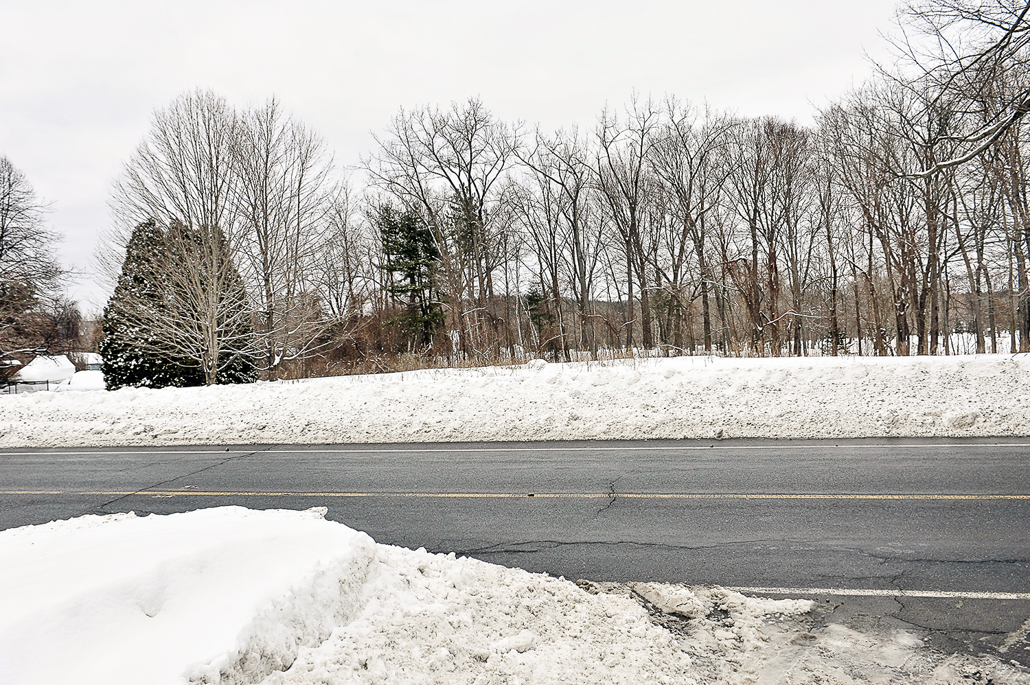
The details of the wetland replication plan approved by the commission were presented by land-use consultant Rob Levesque of R. Levesque Associates on behalf of developer Joseph Kelly of West Springfield. The wetland replication was requested so that the new subdivision road would line up with Old Quarry Road. The wetland being replicated is directly across Northwest Road from the intersection of Old Quarry Road.
Levesque said the existing wetland is 1,550 square feet, too small to trigger the state regulation, but it does trigger the city’s wetland protection ordinance. The proposed plan is to create a 1,560 square-foot wetland next to the subdivision road, just a few feet north of the existing wetland area.
The subdivision property is nearly 28 acres in area and is zoned for rural residential usage.
Levesque said the existing wetland “is not the highest quality” and that it has little vegetation. The proposed wetland would be created by excavating topsoil and diverting stormwater, which feeds the current wetland, toward the new wetland depression.
The replicated wetland basin will have a relief pipe to allow water to flow out of it into the subdivision drainage system.
“We’re not trying to create a pond,” Levesque said, “just a wetland.”
Ward 4 Councilor Mary O’Connell, who has attended all of the Conservation Commission meetings regarding the subdivision, said that at least one property owner, Steve Oleksak, the owner of Green Meadow Lumber, is concerned that the project will change the hydrology of the area.
Oleksak, who was at the Dec. 23 meeting, said that he has several spring-fed ponds on his property that support a variety of wildlife and that he is concerned that runoff from the development, such as road salt and lawn fertilizer, will have a harmful impact on those habitats.
“There is four inches of gravel, then clay, so everything will eventually come to my property,” Oleksak said.
The plan, as it will be presented next week to the Planning Board, currently has a storm-water retention pond at the east point of the property. The retention facility will have a fore bay to allow sediment to drop out and there will be a filtering system before water is released into the surrounding area.
The property is currently wooded land, with limited introduction of contaminates, such as salt and land fertilizers, that would be introduced when the subdivision is constructed and occupied.
O’Connell said Tuesday night that the area has a number of springs as well as Atwood Brook passing near the site of the proposed subdivision and requested changes to the location of the retention basin which will be constructed as part of the stormwater management drainage system. The commission deferred that issue to the Planning Board’s review of the subdivision project.
Subdivision plan going to Planning Board
By
Posted on